Langtang was not directly affected or taken away by the devastating flood of August 26th, 2026. Simply, the usual way to reach is changed.
The destructive flood of August 2026 has raised a serious question among trekkers: Can you trek to Langtang? The answer is YES! The familiar route through Syabrubesi (Syaphru Bensi) is seriously damaged, and this has left many travelers wondering whether the Langtang Valley Trek is now disrupted.
But a damaged access road does not mean the whole trekking destination is closed. Langtang still remains the closest Himalayan trekking region to Kathmandu and is completely safe.
This guide will explain what was actually affected, what alternative trailheads are possible, and which treks can be considered if there is a change in plan.
Which Parts Did the Bhotekoshi Flood Actually Affect?
It is very important to understand that Langtang is a large region. And within the Langtang Valley route, only Syabrubesi was swept away by the August flood.
The 2026 flood caused severe damage in the Trishuli Corridor. Roads, bridges, houses, and other infrastructure were all affected. In fact, the road to Syabrubesi remains completely suspended.
Many places and settlements remain significantly damaged by the flood, including Rasuwagadhi (Nepal-China border), Timure, Syabrubesi, Mailung, Betrawati, Trishuli Bazar, Battar, Devighat, Galchhi, Gajuri, Malekhu, Majihmtar, and beyond.
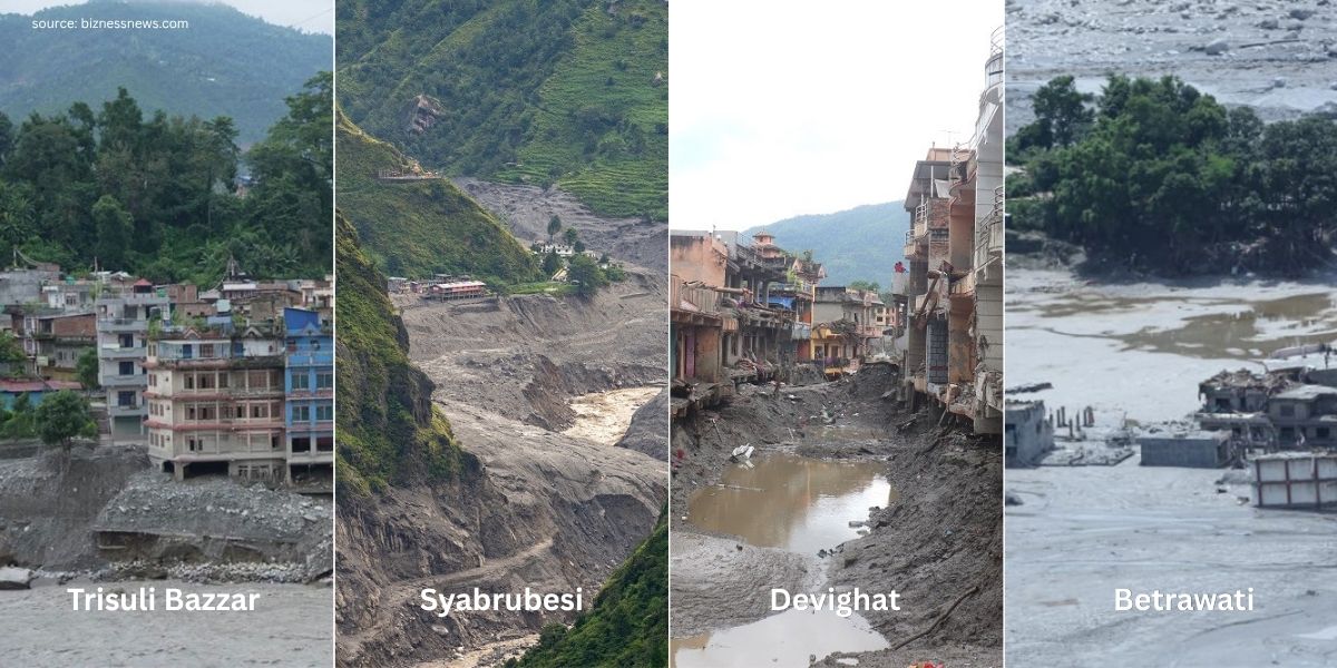
Here’s what we know about the affected areas so far:
- Rasuwagadhi: The Immigration Center building, the Nepal-China Friendship Bridge, vehicles parked around, and the buses heading to Kailash Yatra were all swept away. Additionally, border infrastructure, customs facilities, roads, and nearby buildings were swept away.
- Timure: Close to the Nepal-China border, Timure was the worst-hit area, from where the Rasuwa Customs offices, Timure Community School, along with other boarding plus community schools, police stations, vehicles, homes, and shops, were swept away.
- Syabrubesi: Police posts, houses, businesses, roads, vehicles, and other public infrastructure were wiped away.
- Mailung: Trishuli-2 Hydropower’s Mailung Tunnel was seriously damaged, and the Mailung Police Office, houses, roads, bridges, farmlands, and crops were washed away.
- Betrawati: The whole Betrawati Bazar is heavily buried under mud and debris. More than a hundred houses, shops, roads, bridges, and other infrastructure are damaged. Ramchandra Basic School was also swept away.
- Trishuli Bazar: The destructive flood swept through Trishuli Bazar and destroyed around 60 houses. It damaged many buildings, land, bridges, Trishuli Hydropower, Tribhuvan Trishuli Multiple Campus, and other infrastructure. Those remaining are buried under debris.
- Siltanki: This destructive flood swept away Indrayani Basic School, shops, settlements, farmland, along with the Trishuli Fishery, and left the remains under mud.
- Champani Gaun: The Upper Trishuli 3B and Trishuli Jal Vidhyut Company were completely damaged, and the settlements near the river were washed away.
- Devighat: The flood damaged the Devighat Hydropower Project. It also affected roads, settlements, an ashram, and the Devighat temple located near the river.
- Galchhi: The settlements near the riverbank, roads, hotels, and shops were completely damaged, and even a concrete bridge was washed away.
- Malekhu: The Malekhu-Furke Khola bridge was swept away, and the road connection between Dhading Besi and Prithvi Highway was disrupted.
What Caused The Bhotekoshi Flood in 2026?
The exact cause of the Bhotekoshi flood is not yet scientifically confirmed, and research is ongoing.
Regardless, the initial reports suggested that an earthquake of around magnitude 5.2 caused a glacier avalanche from Langtang Lirung (7,234 m) and blocked the Lhende River, creating a natural dam. The river continued to rise, and as it rose, the temporary debris dam couldn’t hold the water, and the river, carrying large amounts of debris, rushed toward Gyirong Port, flooding the Bhotekoshi and Trishuli rivers.
The blockage was around 20 km northeast of the Nepal-China border, and when it came down, nothing was able to stop it. However, recent satellite images and reports suggest that this was not simply a glacial collapse!
Instead, a large section, possibly a bedrock failure, of the northern face of Langtang Lirung had collapsed and fallen down at least 1,000 m onto the glacier below. This collapse generated an earthquake of magnitude 5.2, and scientists have estimated that around 200 million cubic meters of debris flowed downstream, devastating the areas along the Lhende Khola, Bhotekoshi, and Trishuli River corridors.
Most reports so far are based on satellite information, and a formal investigation is still essential for the exact facts. Interestingly, the earthquake that was initially thought to have triggered the avalanche may actually have been a tremor caused by the avalanche itself.
But hold on… do you know what really caused the catastrophe? I’m referring to the bigger reason behind the flash flood.
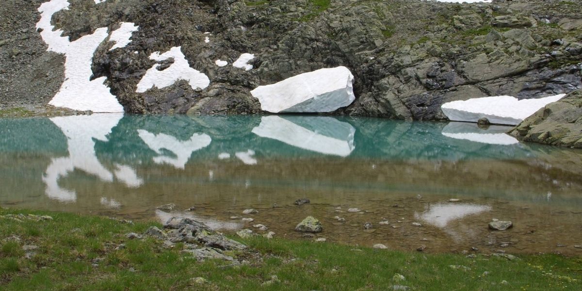
Well, it’s Climate Change! Yes, the most reasonable explanation points toward climate change rather than a GLOF or an earthquake. Rising temperatures, thawing permafrost (warming and melting of ground that has remained frozen at or below 0°C (32°F) for at least two consecutive years), and melting ice are the contributing factors to the destruction.
Langtang Valley Trek After Flood
The usual journey from Kathmandu followed this route:
Tokha > Battar > Trishuli > Betrawati > Ramche > Dhunche > Syabrubesi.
However, the flood swept away roads and bridges, and the key sections (Battar, Trishuli, and Betrawati) were severely affected. Even transportation is currently suspended here (until further notice).
Syabrubesi, the traditional starting point for the Langtang Valley Trek, is one of the worst-hit towns by the Bhotekoshi flood.
While this place remains affected, the actual Langtang Valley trekking trail remains unaffected and is in good condition. So, you can still continue trekking to Langtang using an alternative starting point.
Here are some of the alternative trailheads:
Via Dhunche
The situation around Syabrubesi is different, and looking at the severity of the damage, full recovery could take considerable time.
However, Dhunche is the district headquarters, so maintaining road access to the town remains important, and restoration is already underway!
In fact, the Betrawati-Dhunche-Sano Bharkhu section has not suffered the same level of damage, and once the restoration is complete, the usual approach to Dhunche can be continued.
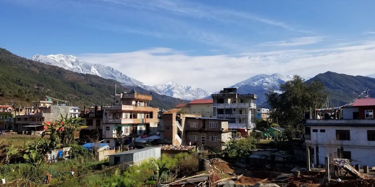
Likewise, the alternative emergency route is already being used, and it is expected to be further developed and expanded in the future to provide another approach toward Dhunche through Chaughada-Kalikasthan.
Hence, disruption to Syabrubesi doesn’t mean that access to Dhunche or the Langtang region is permanently cut off! Here’s the exact drive route:
Tokha, Kathmandu → Chahare → Chaughada Bridge → Aapra → Lachyang → Sarmathali → Patikharka → Kalikasthan → Ramche → Thade → Dhunche.
Once you reach Dhunche, you will use the following trekking route to reach Langtang Valley:
Dhunche → Sapche → Ghatte Khola → Khendi → Deurali → Dhimsa → Chandanbari → Dursagang → Thulo Syaphru → Pairo → Normal route to Kyanjin Gompa → Thulo Syaphru → Sano Bharkhu.
This journey will take around 7 days with approximately 90 km of trekking in total (including both ways). It is considerably longer than the original Langtang Valley Trek and involves a longer hiking approach. Check our Langtang Valley Trek from Dhunche package to learn more in detail.
Via Sundarijal or Dupcheshwor (Longer Routes)
As mentioned earlier, the usual Battar-Trishuli-Mailung-Syabrubesi route is disrupted, but many might not be aware that there are still many ways to attempt the Langtang Trek. And one of them is either via the Sundarijal or the Dupcheshwor route.
However, the alternative Langtang Valley routes are long in distance and take more time. But the most meaningful thing is that these routes avoid the flood-affected Trishuli Corridor and approach the Langtang Valley Trek in a safe way. It means this trailhead is outside the disrupted section.
Unlike the original trek that starts from the Syabrubesi side, this Sundarijal route is longer and takes around 10 days, with approximately 140 km of total trekking (both ways).
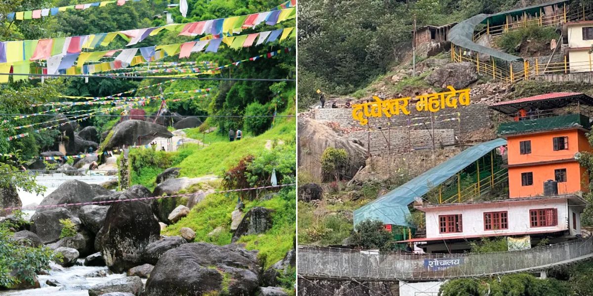
It's a longer ride, which requires more time, stamina, and preparation. But the interesting thing with this route is that you will get the chance to explore other beautiful places along the way, including the sacred Gosaikunda Lake.
- Via Sundarijal: Drive to Sundarijal (Kathmandu) → Chisapani → Kutumsang → Magingoth → Thadepati → Gopte → Phedi → Phedi High Camp → Laurebina Pass / Suryakunda Lake → Gosaikunda → Lauribina → Cholangpati→ Thulo Syaphru → Ghoda Tabela → Kyanjin Gompa → Kyanjin Ri / Tsergo Ri Hike → Lama Hotel → Sano Bharkhu → Kathmandu.
- Via Dupcheswor: First, drive to Talu (via Tokha, Kathmandu → Thansing → Dupcheswor Mahadev Temple → Ghyangphedi → Sisipu) → Trek to Gopte → Phedi → High Camp → Suryakunda → Gosaikunda → Thulo Syaphru → Ghoda Tabela → Kyanjin Gompa → Tsergo Ri/Kyanjin Hike → Kyanjin Gompa → Lama Hotel → Thulo Syaphru → Sano Bharkhu → Drive back to Kathmandu.
In the second approach, your trek starts from Talu Village, and it takes 8-9 days with approximately 110 km of total trekking (both ways). This is also a bit longer than the usual route, and you can explore places like Dupcheswor Mahadev Temple, other beautiful villages, and small waterfalls.
Tilman Pass via Panch Pokhari
Route: Drive to Thulo Bhotang/Chhimti → Trek to Deurali → Nosyampati → Panch Pokhari → Tin Pokhari → High South Camp → Moraine Camp → Langshisa Kharka → Kyanjin Gompa → Tsergo Ri/Kyanjin Ri Hike → Kyanjin Gompa → Lama Hotel → Sano Bharkhu → Drive Back to Kathmandu.
This is not a general trek but can be an option if you like an adventurous high-pass trek. The usual route is already challenging, but this reverse Tilman Pass approach is more demanding and should only be attempted by experienced technical trekkers.
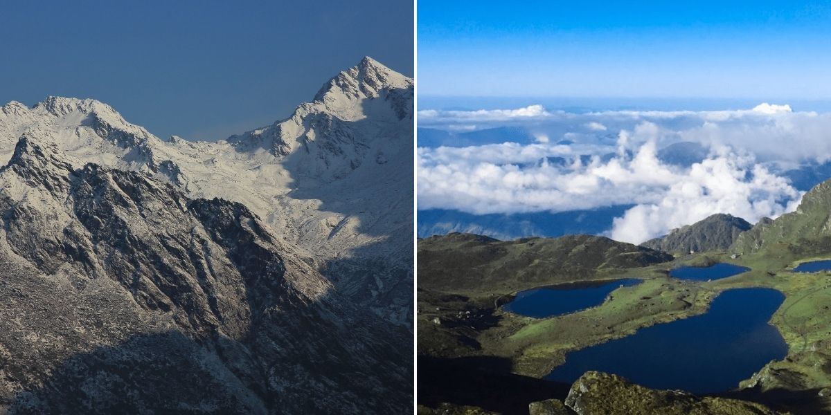
So, note that the trek is not suitable for beginners as the route reaches elevations higher than 5,000 meters!
In addition, this route requires more days to complete, so you must be physically and mentally fit. Above Panch Pokhari, the trek becomes a camping trek, and there won’t be any tea houses until you reach the Kyanjin Gompa.
Which Treks are Safe in the Langtang Region?
The trekking possibilities of the Langtang region are not erased by the flood. There are several treks in the Langtang region, from traditional trails to high-altitude destinations and holy lakes, that you can still plan, and here are a few options to consider:
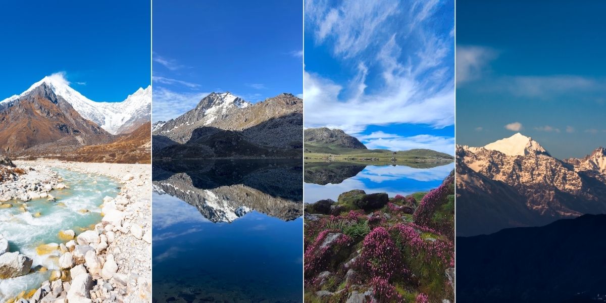
- Langtang Valley Trek: Langtang Valley Trek is not affected by the flood and is partially accessible. The road condition of the Trishuli Corridor is completely disrupted. However, the trail is unaffected above the Syabrubesi area. So, the trekking trail is completely safe, and you can use alternative routes for the trek mentioned above.
- Gosaikunda Trek: Currently, the Gosaikunda Trek is partially accessible if traveling via Dhunche because it is also difficult to reach in its current condition, as the Trishuli Corridor up to Betrawati is disrupted. However, you can take an alternative route to reach here via Gadkhar Bridge. Or you can choose an alternative starting point, i.e., Sundarijal.
- Langtang Gosaikunda Trek: This route is similar and combines the same highlights of the Langtang Valley and Gosaikunda trek. You can experience the dramatic Langtang Valley and the alpine landscape around Gosaikunda.
- Panch Pokhari Trek: This trek in the Langtang region is not affected and is completely safe. You can plan the trek from the original starting point, i.e., Chhimti, which remains unaffected by the Bhotekoshi Flood. The same trail leads you to the spectacular Panch Pokhari, five sacred holy lakes: Surya Kunda, Bhairav Kunda, Saraswati Kunda, Naag Kunda, and Ganesh Kunda.
- Helambu Circuit Trek: This trek is completely safe for travelling and is currently accessible. It is known for its scenic mountain landscapes and passes through rhododendron and pine forests. Likewise, traditional Sherpa and Hyolmo villages, including the Buddhist monasteries, are the major attractions of this trek.
- Jugal Himal Base Camp Trek: Currently safe for trekking in the Langtang region, the Jugal Himal Base Camp trek is known as a haven for trekkers and mountaineers. Close-up views of Jugal Himal, Dorje Lyakpa, Ladies' Peak, Gyalchen, and other snow-covered peaks, alpine landscapes, rhododendron forests, remote villages, and peaceful base camp are the major attractions of this trek.
- Tilman Pass Trek: It is currently safe and is a remote and demanding one. This trek is a combination of mountain passes, lakes, Himalayan scenery, dense forests, remote settlements, and spectacular views of the Langtang and Jugal Himal ranges.
- Ganja La Trek: This trek works as a bridge between Langtang Valley and Helambu region and is unaffected by the flood. It is a challenging high-altitude route and is famous for stunning mountain scenery, remote landscapes, traditional villages, forests, and glaciers.
Note: Before starting any of these treks, make sure you have the required trekking permits.
Treks That Remain Inaccessible
Many of the trekking routes in the Langtang region are no longer accessible because of major flood damage and access issues. So if you are planning these treks, then you need to stop and wait for the official updates:
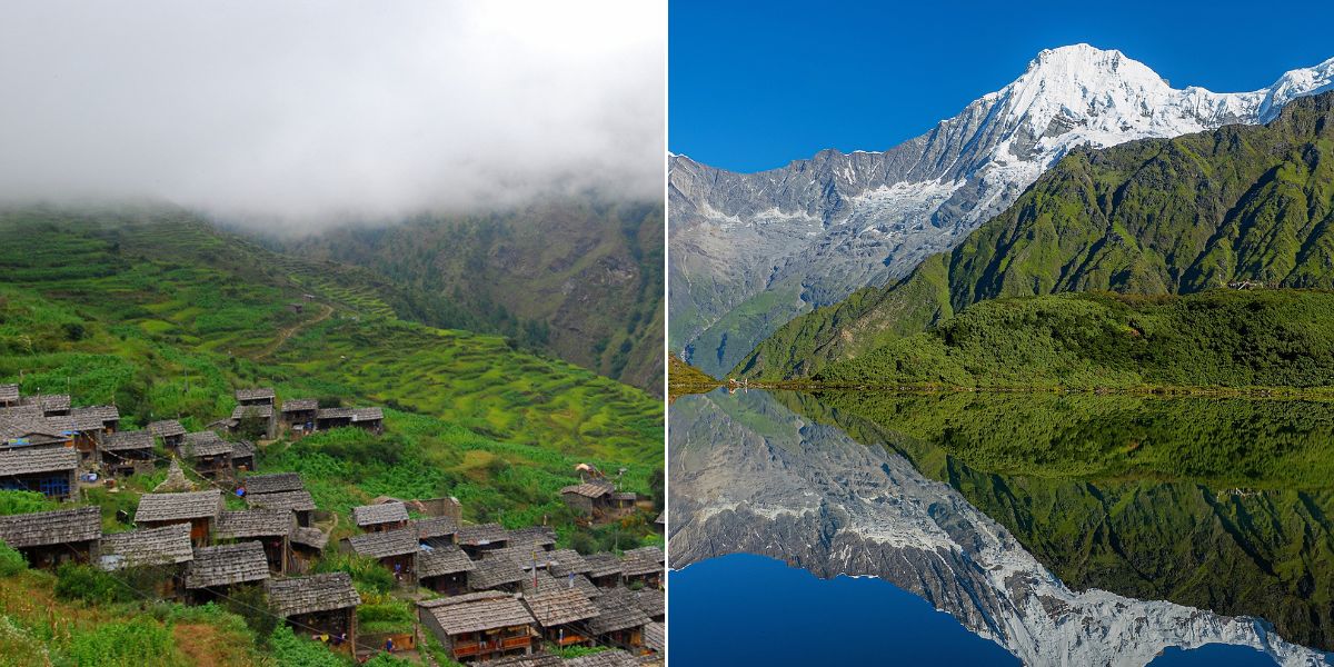
- Tamang Heritage Trek: The route from Syabrubesi to Gatlang of Tamang Heritage Trek is affected by the flood, and access to Gatlang is difficult at present. Although other destinations like Nagthali, Chilime, Tatopani, and Thuman are not affected, the roads and connecting trails to these places are disrupted. So, the possible options to reach the village are currently impossible and unsafe.
- Ruby Valley Trek: The main bridge, Furke Khola Bridge, that connects the highway to Dhadingbesi is completely disrupted. So, at present, there is no possibility of trekking to Ruby Valley, and no alternative approach is possible. Even if there’s a possible route, it is too far and impractical for many trekkers!
Best Time to Visit Langtang After the 2026 Flood
Langtang is one of the most beautiful trekking destinations in Nepal and is known for its fascinating natural beauty, glaciers, snow-capped mountains, forests, and rivers.
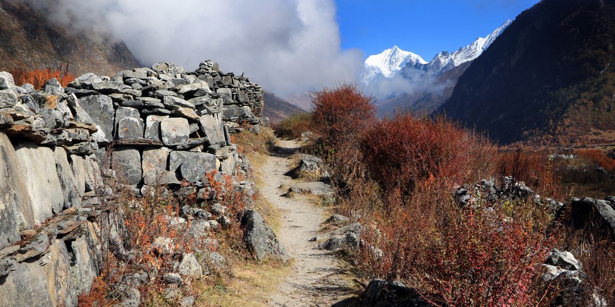
The place offers a unique experience and beauty at every time of year. Here’s a season-by-season breakdown:
- Spring (March - Mid June): The weather brings comfortable daytime temperatures; nighttime is cold but manageable. With the clear skies, lush green landscapes, snow on peaks, and clear mornings, Spring brings Langtang to life. Similarly, the trails are more comfortable, rhododendrons and other mountain flowers begin to bloom, and make Langtang colorful. Likewise, this is the most beautiful time to enjoy nature and photography.
- Monsoon (late June - mid September): The monsoon season in Langtang brings heavy rains, tall green trees and wildflowers. Weather: Mostly cloudy and heavy rain, trail is muddy and slippery. Even landslides and streams swollen with water can complicate things. However, if you are flexible and prepared for wet and changing conditions, then you can stay updated with Langtang Trek and plan accordingly.
- Autumn (Late September - Mid December): While the Spring makes Langtang colorful, autumn makes it clear. The air is usually cleaner, the skies are clear, the weather is pleasant, and the mountains appear with snow on top and are clear. Walking through the valley with impressive views of the surrounding peaks, you can enjoy comfortable daytime weather and experience the lively atmosphere with beautiful sunsets and good trail conditions during this season.
- Winter (Late December - February): Langtang character is totally different. The upper parts of the valley are snow-covered, and that makes the landscape dramatic. Lower sections are manageable but higher sections are quite cold and snowy. Some sections are difficult due to snow fall so be fully equipped and prepared for the conditions. There are fewer crowds, and the mountain atmosphere is peaceful in comparison to other seasons.
How the 2026 Flood Could Affect Tourism in Langtang
The Langtang region has always been more than a trekking destination. Teahouses, hotels, restaurants, guides, porters, transport operators, and many local families in the region were supported heavily by tourism.
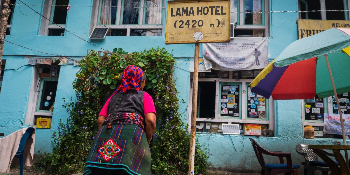
The August flood has disrupted the access route, and this can have a direct effect on tourism in Langtang:
- Few Trekkers: The impact of this flood will lead to a sharp fall in visitors to Langtang’s major destinations. Travelers have already started postponing their trip or choosing alternative trekking regions, while some are even canceling their Nepal trip!
- Local hotels and teahouses could struggle: For many people in the Langtang region, tourism was the only main source of income and an important part of their livelihood. So, every cancelled trip to Langtang means a room unsold, fewer foods and drinks sold, plus less work for guides, porters, and transport providers.
- Transportation: This can be the biggest challenge as trekkers can not start the trek until it is safe. The damage to major roads and bridges has made transport one of the biggest obstacles to tourism recovery along the Rasuwa corridor.
- Recovery may take time: The Langtang tourism recovery is definitely taking time and is likely to be gradual rather than immediate because the flood has disrupted roads, bridges, electricity, communications, accommodation and tourism infrastructure.
Responsible Trekking After the Flood
Nepal still welcomes you! There are many more beautiful destinations to explore, more trails to trek, more mountains to see, but traveling through a disaster-affected region requires more than a regular packing list!
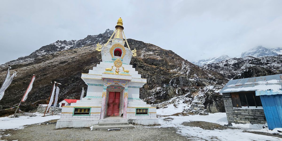
Once the flood-affected areas are declared safe, travel with respect, patience, and understanding that recovery takes time:
- The Langtang region and the surrounding areas heavily depend on tourism, and once access is permitted and travel becomes possible again, visit and support local businesses (like hotels, teahouses, restaurants, shops, guides, porters, and transport operators). Choose local meals, handmade products, and local porters and guides. It will be a meaningful contribution to recovery.
- When you walk through a damaged village, understand that you are visiting a village/community in recovery, not a disaster attraction. So, do not engage in any insensitive behavior; give them space because it is their home and the place where they lost everything.
- If you see any area, trail, settlement, bridge, or road that is restricted, then do not try to enter the area or cross the barrier. Hold until local authorities and responsible trekking professionals confirm that the route is safe.
- Please do not photograph anyone or anything because it might be someone’s most difficult day or the worst moment. However, you can ask the people and take photographs, and if they refuse, respect their answer.
- It is very important to listen to local authorities, guides, tourism professionals, and community representatives regarding information on road closures, trail conditions, weather, landslides, and river crossings.
- Heavy tourist traffic may not be supported by the damaged roads, bridges, buildings, and trails, so do not create additional pressure on such infrastructure.
- The destructive flood has damaged many houses, restaurants, schools, roads, trails, and many more, leaving the remains in mud and debris. So, you need to understand that recovery does not happen overnight and prepare accordingly. You need to be well-prepared for the changes, delays, and limited services.
Alternative Treks if Langtang Feels Temporarily Unsafe
You won’t need to cancel or postpone your entire Nepal trip because of the disaster. Depending on your interest, Nepal has several other trekking areas that can offer just as much, sometimes more.
Langtang may not feel safe now, because of the recent massive flood, weather conditions, landslip possibility and road access. So here are a few alternative treks I’d recommend you consider depending on the conditions at the moment.
Annapurna Base Camp
If you want to be surrounded by giant, snow-capped Himalayan peaks just like Langtang offers, the Annapurna Base Camp Trek is a solid option.
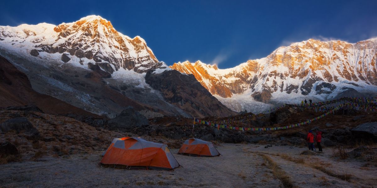
You will find yourself below mountains such as Annapurna I, Machhapuchhre (Fishtail), Hiunchuli, Annapurna South, and Annapurna III. Situated at 4,130 m, the natural scenery here, with sweeping views of the Annapurna mountains, charming villages, terraced hills, and rhododendron forests, is what makes this trek worth doing.
It is also one of the most rewarding treks in Nepal, with a moderate difficulty level, and can be completed in around 7 to 10 days.
Mardi Himal Base Camp
Another good alternative is the Mardi Himal Trek. You will be standing at 4,500 m with views of Machhapuchhre (Fishtail), Mardi Himal, Annapurna South, Hiunchuli, Annapurna III, and Gandarva Chuli. Not a bad trade-off if Langtang is off the table for now!
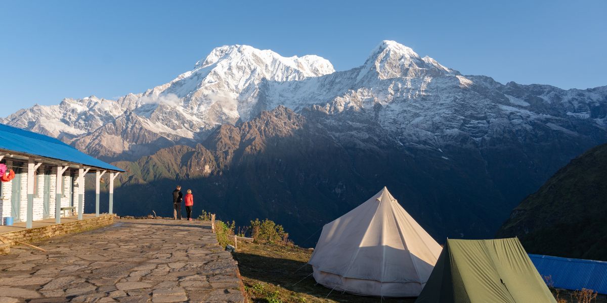
The lower sections of the trail pass through rhododendron forests, which come alive during spring. You can complete the trek in 5 to 6 days, and the difficulty level is moderate.
Helambu Circuit Trek
Want to experience a Himalayan trek within Langtang National Park without a domestic flight or a long journey? Then the Helambu Circuit Trek, with views of the Langtang, Ganesh, and Jugal Himal ranges, is worth a look.
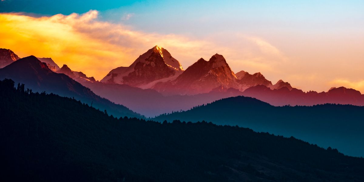
It is one of the most rewarding treks near Kathmandu, can be completed in 8 to 10 days, and sits at a moderate difficulty level. Along with the landscapes, you get to experience the local Hyolmo culture, which is one of the things I like most about this route.
The trek starts from Sundarijal, Kathmandu, and reaches Ama Yangri peak, the highest point at 3,771 m.
Ama Yangri means "Mother Protector" in local Hyolmo and Sherpa tradition. The peak is considered a living goddess and the guardian deity of the Helambu Valley, and once you reach it, the mountains genuinely feel close.
There is even a Buddhist shrine at this peak, Ama Yangri Zangdopelri, and it is worth wondering how it was ever built at this height.
Panch Pokhari Trek
Just like its name suggests, Panch Pokhari (five ponds) is a collection of five holy lakes, located in Sindhupalchowk district at approximately 4,100 m.
The best part of this trek is that it can be completed in only 4 to 5 days, and it is easy for experienced trekkers and moderate for beginners.
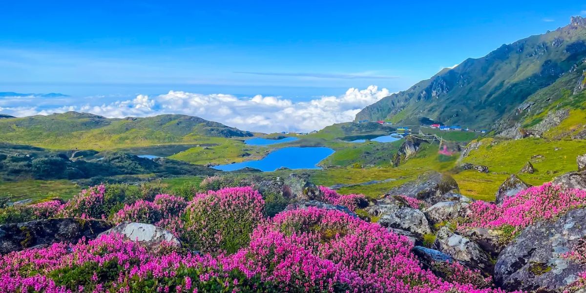
The five lakes are Surya Kunda, Bhairav Kunda, Saraswati Kunda, Ganesh Kunda, and Naag Kunda, and local mythology ties them to the stories of Lord Shiva and Goddess Parvati.
Like Gosaikunda, Panch Pokhari is also visited by many pilgrims during the festival of Janai Purnima. If you want a quiet Himalayan trek with traditional villages, welcoming hospitality, and green forests, then this is a good one to consider.
Interested in the cost? The total trip cost for each of these treks varies depending on the trekking days, accommodation, meals, transportation, permits and guide or porter services, and the season you are travelling in!
Final Answer: Is Langtang Trek Really Safe?
I am mentioning this for the final time: Langtang Valley itself was not directly affected by the August flood. Only the normal gateway, Syabrubesi, was. So yes, the Langtang Trek is safe, but that does not mean you should take safety for granted.
Heavy rain during monsoon can cause slippery trails, landslides, and difficult road conditions, and thus extra caution is needed during this time. Winter has its own challenges with heavy snow. So to be the safest on any trek, in any season, check the latest weather, trail, road, and local conditions before you start.
Langtang Valley is well away from the main flood corridor. With good preparation, up-to-date local knowledge and a little patience and flexibility, it remains a safe and achievable trekking destination in 2026/27.


 Bhishu Acharya