Are you a trekker with Langtang on your calendar later this year? Well, you have probably seen the headlines and wondered if you need to cancel. We understand that concern, and we are not going to tell you there is nothing to worry about.
The flash flood on August 26, 2026, swept away the towns beside the Bhotekoshi-Trishuli River: Rasuwagadhi, Timure, Syabrubesi, and beyond. The risk might have been lower, but the sad reality is that thousands have lost their lives or are reported missing!
That is the part that made the news. What did not make it to many headlines is that the actual Langtang Valley trekking trail, from Tiwari all the way up to Kyanjin Gompa, was barely touched. The damage is concentrated on the access road, not the mountains.
So the real question is not "Is Langtang safe?" it is "How do you get there now?"
Well, in this guide, we will walk you through exactly which treks in the region are open right now, what happened during the flood, whether Langtang Valley and Tamang Heritage are realistically doable, the alternate routes through Dhunche and Sundarijal, the risks worth knowing about going forward, and what our team at langtangvalley.com are doing differently with our own itineraries this season!
Which Langtang Region Treks are Accessible Currently?
|
Trek Name
|
Status
|
Road Condition
|
Trail Status
|
Alternative Starting Points
|
|
Langtang Valley Trek
|
Accessible via Gosaikunda trail
|
Battar-Betrawati-Mailung-Syabrubesi road disrupted
|
Unaffected above Syabrubesi
|
Sundarijal, Dupcheshwor, Dhunche / Sano Bharkhu / Thulo Bharkhu (to be open soon, via Lachyang-Kalikasthan route)
|
|
Gosaikunda Trek
|
Accessible
|
Battar-Betrawati road disrupted
|
Unaffected
|
Sundarijal, Dupcheshwor
|
|
Langtang Gosaikunda Trek
|
Accessible via Gosaikunda trail
|
Trishuli-Betrawati-Dhunche-Syabrubesi road disrupted
|
Unaffected
|
Sundarijal, Dupcheshwor, Dhunche / Sano Bharkhu / Thulo Bharkhu (to be open soon, via Lachyang-Kalikasthan route)
|
|
Panch Pokhari Trek
|
Accessible
|
Accessible (up to Chhimti)
|
Unaffected
|
Not needed
|
|
Tamang Heritage Trek
|
Inaccessible
|
Battar-Betrawati-Syabrubesi
disrupted
|
Certain Parts Affected
|
N/A
|
|
Helambu Circuit Trek
|
Accessible
|
Accessible (up to Tarke Ghyang)
|
Unaffected
|
Not Needed
|
|
Jugal Himal Base Camp Trek
|
Accessible
|
Accessible
|
Unaffected
|
Not Needed
|
|
Tilman Pass Trek
|
Accessible via Panch Pokhari (but risky) or change starting point to Dhunche (for normal route)
|
Accessible (up to Chhimti or Dhunche)
|
Unaffected
|
Panch Pokhari or Gosaikunda Route
|
|
Ganja La Pass Trek
|
Accessible via Gosaikunda-Langtang trail
|
Battar-Betrawati-Syabrubesi
disrupted
|
Unaffected above Syabrubesi
|
Same as Langtang or Langtang-Gosaikunda trek
|
|
Ruby Valley Trek
|
Inaccessible
|
Furke Khola bridge collapsed, Route to Syabrubesi disrupted
|
Unaffected
|
Alternative route connecting Dhading Besi to Prithvi Highway opening soon
|
Table 1: Langtang Region Treks Accessibility, Updated as of September 2026
August 2026 Bhotekoshi-Trishuli Flash Flood: What Happened?
Sometimes, nature changes everything in just a few minutes, and something similar happened on August 26, 2026. Nature reminded us that it can be both beautiful and destructive!
26th August 2026 began just like any other day in Nepal, but after 9:00 AM, the country faced a tragedy that no one had ever imagined. It was certainly a black day for Nepal because of the sudden and devastating flash flood in the Bhotekoshi-Trishuli River.
The flood began at the Nepal-China border (possibly entering from Lhende Khola), reaching all the way to Timure, Syabrubesi, Mailung, Betrawati, Trishuli Bazaar, Battar, Devighat, Galchhi, Gajuri, Malekhu, and beyond.
This catastrophe wiped away nearby towns/villages, roads, bridges, vehicles, hydropower projects, and every other infrastructure it found along its way!
Not only did the flood sweep away homes, but it also caused a great loss of human life, along with their years of hard-earned savings. Even as we’re writing this article, families are still reported missing, with the death toll now in the thousands!
This was certainly not a normal flood caused by rain but was rather triggered by an ice-rock avalanche. Today, the whole world’s eyes are on Nepal as the entire nation is worried and grieving!
The Main Cause
While many individual researchers have put forward the possible causes of the Rasuwa 2026 Flood, the exact origin is yet to be confirmed. We will provide an update once the main cause is identified.
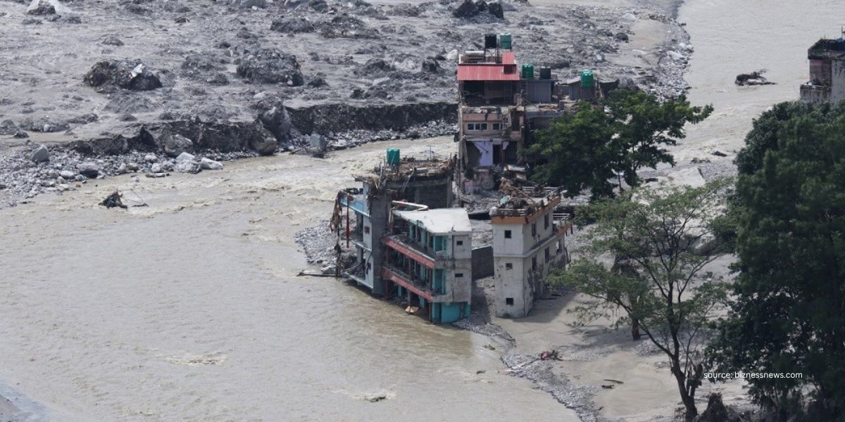
Here’s what reliable sources say:
- According to Global Environment Correspondent, Navin Singh Khadka’s conversation with the National Disaster Risk Reduction Management Authority officials, there was a glacier collapse in Langtang Lirung. A temporary dam created by rocks and debris that came down from the mountain blocked the Lhende River. When that dam broke, it unleashed this destructive flash flood!
- As per the Kathmandu Post, some scientists have mentioned that an earthquake and a glacier burst, followed by a huge avalanche, blocked the Lhende River, forming a temporary dam. This temporary dam later burst, and it might be the probable cause of the devastating flood.
- As per the International Centre for Integrated Mountain Development (ICIMOD), a preliminary assessment based on video footage and information from the areas suggests that a large amount of ice and rock may have fallen into the Lhende River, and this could have caused a sudden surge of water, mud, and large rocks to move downstream.
- Some news sites like Online Khabar have also mentioned that the massive flood was triggered by a possible glacial lake outburst or a landslide in the Tibet region of China.
Which Areas Were Affected?
Mainly, Rasuwa, Nuwakot, and Dhading districts were affected when the flood entered through the Lhende Khola-Bhotekoshi river system near Rasuwagadhi and traveled downstream into the Trishuli River.
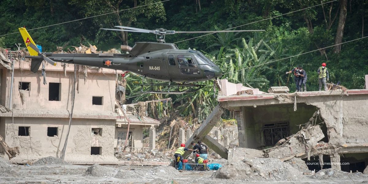
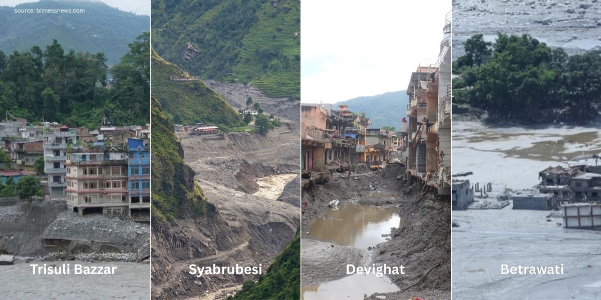
Here are the details of the affected places:
|
Area
|
Destruction
|
|
Rasuwagadhi, Rasuwa
|
The Nepal-China Friendship Bridge, Immigration Center building, along with the vehicles (including some tourist buses heading for Kailash Mansarovar Yatra) were all swept away. The videos going viral on social media are exactly from here!
|
|
Timure, Rasuwa
|
Rasuwa Customs Office, Timure Community School (alongside two other boarding and community schools), police stations (9 officers out of contact), hundreds of vehicles, homes, and shops were swept away.
|
|
Syabrubesi, Rasuwa
|
Houses, businesses, roads, vehicles, police posts, and other public infrastructure were severely damaged.
|
|
Mailung, Rasuwa
|
Army Checkpost and Trishuli-2 Hydropower’s Mailung Tunnel were both damaged.
|
|
Champani Gaun, Rasuwa
|
Upper Trishuli 3B and Trishuli Jal Vidhyut Company are damaged, while settlements near the river were washed away.
|
|
Betrawati, Nuwakot (borders Rasuwa)
|
Over 100 houses, shops, roads, bridges, and other infrastructure are damaged, with Betrawati Bazar heavily buried under mud and debris, along with Uttargaya Public School and Ramchandra Basic School was swept away.
|
|
Trishuli Bazar, Nuwakot
|
Around 60 houses are reportedly swept away, while buildings, land, bridges, Trishuli Hydropower, Tribhuvan Trishuli Multiple Campus, and other infrastructure are damaged, some buried under mud and debris.
|
|
Siltanki, Nuwakot
|
Indrayani Basic School, shops, settlements, farmland, and the Fishery Research Center were swept away.
|
|
Devighat, Nuwakot
|
Devighat Hydropower Project is damaged, and roads, settlements, along with the Devighat temple, are affected.
|
|
Galchhi, Dhading
|
Riverbank settlements and roads are damaged. Even a concrete bridge was swept away.
|
|
Malekhu, Dhading
|
Malekhu-Furke Khola bridge is swept away, and the road connection between Dhading Besi and Prithvi Highway is disrupted.
|
Note: Besides those mentioned above, several other hydropower projects are damaged, local facilities are destroyed, and tunnels are blocked off. Several schools in Rasuwa, Nuwakot, and Dhading districts are filled with mud and debris. These destruction figures are provisional because the search, recovery, and identification are still in progress.
Langtang Valley Trek: Is It Possible After the August Flood?
Unfortunately, for now the Langtang Valley Trek is not possible from the traditional route that starts from Syabrubesi because this is exactly the place where the August flood created a major problem.
But don’t worry, you can travel via other alternative routes, and we will discuss them below.
For now, the main concern is the road condition to Syabrubesi. Let’s discuss that first!
The Main Concern: Road Condition to Syabrubesi
Syabrubesi is the most familiar trailhead for trekkers opting for the Langtang Valley Trek. However, after the flash flood of August 26, the road to reach here was severely affected, and all vehicle movement to Syabrubesi is completely suspended until further notice.
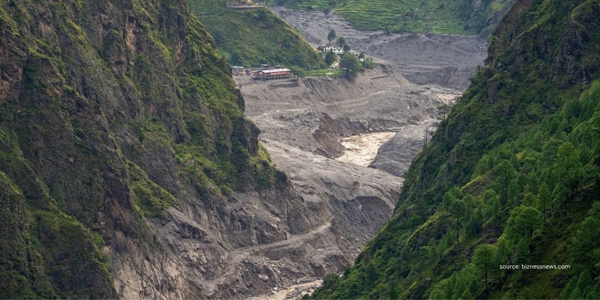
To be precise, multiple sections of the Trishuli River Corridor (Galchhi - Betrawati - Mailung - Syabrubesi - Timure) route were completely washed out by the destructive flood.
Hence, the usual way to Langtang has been interrupted, but other alternatives are still available. More about them below!
Trail Conditions Remain Unaffected!
Besides Syabrubesi, the main Langtang Valley Trail has not been affected at all. That means hamlets like Tiwari and Domen are safe but difficult to access.
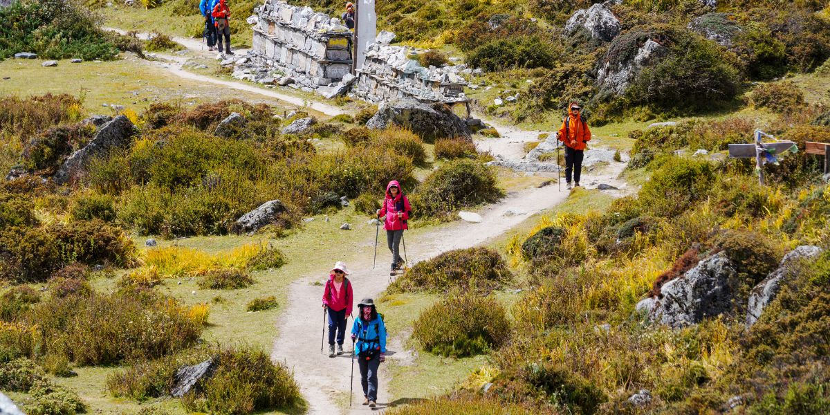
Here’s an overview:
- Road Blockages: The traditional route to reach the trailhead of Langtang Valley, i.e., Kathmandu (Tokha) > Chahare > Battar > Betrawati > Dhunche > Syabrubesi, is not currently possible because the Bhotekoshi flood has swept the road away. The previously black-topped road to Syabrubesi will not resume sooner due to extensive destruction in the area. However, there is a possible chance of rebuilding part of Battar-Dhunche soon.
- Langtang Trail remains unaffected: Upper Langtang Trail was not affected by the 2026 flood, but the people here heavily depend on the hospitality business. So, the flood is indirectly hampering their livelihood. Planning a trek using alternative routes means you’ll be helping the local economy here. But please keep yourself updated on the latest conditions before travelling (check here).
- Neighboring route via Gosaikunda Lake Trail: This neighboring trail (via Thulo Syaphru or Sundarijal) is unaffected and will lead you to the Langtang Village.
Dhunche: The Alternative Starting Point
Is there any other way to explore the Langtang region? Is Syabrubesi too difficult to reach? The answer to both of these questions is a big YES!
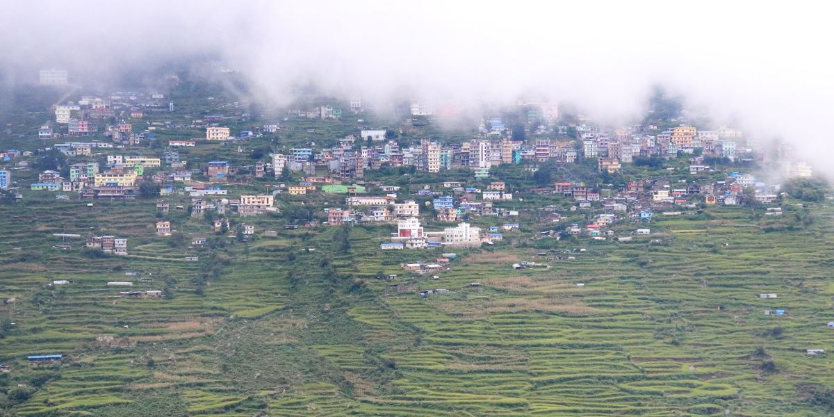
Currently, the Gosaikunda route is being promoted as an alternative to the Langtang Trek. Once the traditional road to Dhunche comes into operation, you will be able to travel here or even further up to Thulo Barkhu or Sano Barkhu to start any of the following treks: Gosaikunda Lake, Langtang Valley Trek, or Langtang-Gosaikunda Trek.
For now, there’s a possibility that this new route to Dhunche (currently being used for rescue purposes and is also undergoing expansion) will open up for travellers soon:
Tokha, Kathmandu > Chahare > Chaughada Bridge > Aapra > Lachyang > Sarmathali > Patikharka > Kalikasthan > Ramche > Thade > Dhunche.
From here, you’ll use this trekking route to reach Langtang Valley:
Dhunche > Sapche > Ghatte Khola > Khendi > Deurali > Dhimsa > Chandanbari > Dursagang > Thulo Syaphru > Pairo > Normal route to Kyanjin Gompa.
In case the traditional road doesn’t get restored anytime soon, the same alternative route might be used for future treks in the Langtang region.
Note that since this is a longer route, it requires more days and more cost compared to the standard versions of the Langtang Valley Trek.
Is Tamang Heritage Trek Possible?
Honestly speaking, NO! Tamang Heritage Trek is not possible for now after the 2026 Rasuwa Bhotekoshi Flood.
We have suspended this region’s trekking at langtangvalley.com, as the starting point, Syabrubesi, was severely hit. Unlike the Langtang Valley Trek, which has alternative routes, access to the Tamang Heritage Trail looks difficult at the moment.
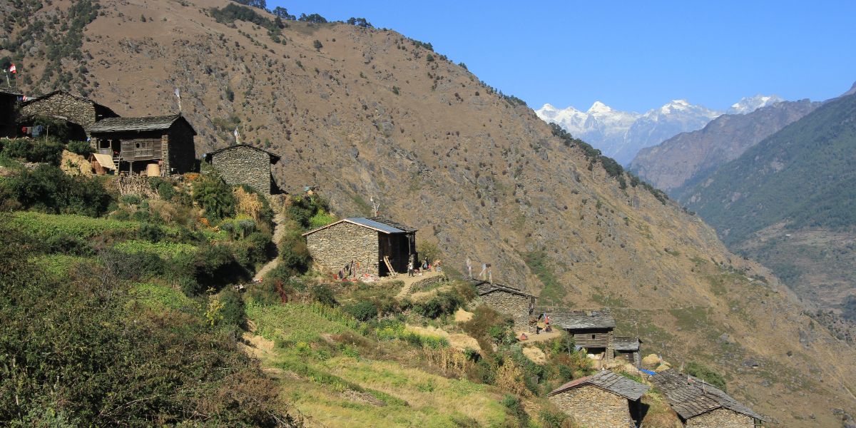
Tamang Heritage Trek, as the name suggests, is a popular trek that is filled with traditional Tamang villages, local families, homestays, teahouses, and Tamang culture. As several communities and access roads in the area are affected by the flood; traveling there is not possible!
The route from Syabrubesi-Gatlang Road has been affected by the flood, and access to Gatlang is difficult at present. While other destinations such as Nagthali, Chilime, Tatopani, and Thuman are not affected by the flood, the roads and connecting trails to these villages have been disrupted, leaving no way to reach them!
Likewise, reaching Briddhim from Thuman requires crossing the Bhotekoshi River, which is currently impossible as there’s no bridge left in the area!
You see, all the connecting routes are currently unsafe and inaccessible. Therefore, although the villages remain unaffected, the Tamang Heritage Trek cannot be attempted.
However, don’t assume the Tamang Heritage Trek is gone forever because once the roads are repaired and the sections of the trails are repaired, the route will gradually return to normal.
Opting For High Passes Trek as Alternative Routes
While we talked about the alternative route to Dhunche for starting the Langtang Valley Trek, there are other ways too. As the saying goes, “where there is a will, there’s a way,” you can choose two of Nepal’s established high-pass routes to connect to Langtang.
But opting for high passes as an alternative route is not for everyone, a detail that needs to be pointed out!
This route might excite those who are experienced or those who are looking for a new challenge to undertake. But for the ones who are just looking for a casual trek and not anything hectic, it might come with more challenge and unpredictability.
Laurebina/Suryakunda Pass
Let’s start with a route that has been popular as an alternative to Gosaikunda Trek even before the devastating flood. It gets you across the Laurebina Pass (where Surya Kunda Lake is located) at 4,610 m, connecting you to the sacred lake of Gosainkunda.
From there, you can continue onward toward Thulo Syaphru and then reach Langtang Valley. There are multiple routes to do this approach, and each remains genuinely unaffected in terms of road disruption.
However, these routes are much longer for the Langtang Valley Trek, as they also lead to other surrounding regional treks. Yet, our team at langtangvalley.com believes that it’s the best way to reach Langtang in the current circumstances.
Do note that this Gosaikunda-Langtang approach can feel strenuous to some novice trekkers. And for experienced ones? It surely proves to be the adventure of your life!
Route #1: From Sundarijal
If you’re starting the trek all the way from Kathmandu’s Sundarijal, then you will be going through the Shivapuri-Nagarjun National Park and some parts of Helambu’s Hyolmo villages (Kutumsang, Mangingoth, and Thadepati).
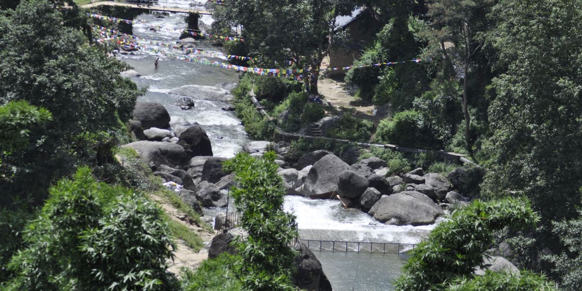
You see, this route is totally unassociated with the Bhote Koshi-Trishuli corridor but is still a part of the Langtang National Park.
Here’s the route:
Sundarijal > Chisapani > Kutumsang > Magingoth > Thadepati > Gopte > Phedi > Phedi High Camp > Laurebina Pass / Suryakunda Lake > Gosaikunda > Lauribina > Chandanbari > Thulo Syaphru > Pairo > Bamboo > Lama Hotel > Ghoda Tabela > Thangshyap > Langtang Village > Mundu > Kyanjin Gompa.
It can take approximately 10 days to complete this trek from Kathmandu. And on top of the Langtang permits, you’ll also need to get a Shipapuri National Park Entrance Permit.
Route #2: From Dupcheshwor
A shorter version of the first route would be via Dupcheshwor Temple. The road connection has now reached Talu Village:
Tokha (Kathmandu) > Chahare > Kharanitar > Samundratar > Ghyangphedi > Sisipu > Talu
From there, you can directly connect to Gopte, and the rest of the route is the same as above:
Talu > Gopte > Phedi > Surya Kunda > Gosain Kunda > Thulo Syaphru > Ghoda Tabela > Kyanjin Gompa > Lama Hotel > Sano Bharkhu
Tip: You also have the option to walk from Dupcheshwor Temple itself; however, this adds an extra day to your itinerary.
Route #3: Helambu-Gosaikunda-Langtang
This is a longer version of the Gosaikunda-Langtang trek and can be a bit tough on the knees for beginners, as trekking days are longer with fluctuating terrain. You get to see parts of the Helambu Circuit Trek this way.
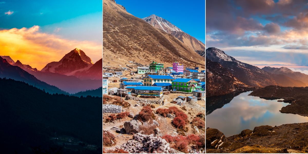
Here are two routes you can pick from:
- Melamchi > Shermathang > Tarke Ghyang (1-day optional visit to Ama Yangri) > Thadepati > Gopte > Phedi > Laurebina Pass > Gosainkunda > Thulo Syaphru > Ghoda Tabela > Kyanjin Gompa > Lama Hotel > Sano Bharkhu.
- Sundarijal > Chisapani > Gul Bhanjyang > Thadepati > Tarke Ghyang > Ama Yangri > Tarke Ghyang > Ghopte > Phedi > Laurebina Pass > Gosainkunda > Thulo Syaphru > Ghoda Tabela > Kyanjin Gompa > Lama Hotel > Sano Bharkhu.
Tilman Pass Via Panch Pokhari
This is another route that is more of a high-altitude adventure rather than a generic alternative to complete the Langtang Valley Trek.
“Tilman Pass” is named after explorer H.W. Tilman, who first crossed it in 1949 A.D. The original route starts from Langtang Valley of Rasuwa and connects to Panch Pokhari in Sindhupalchowk district.
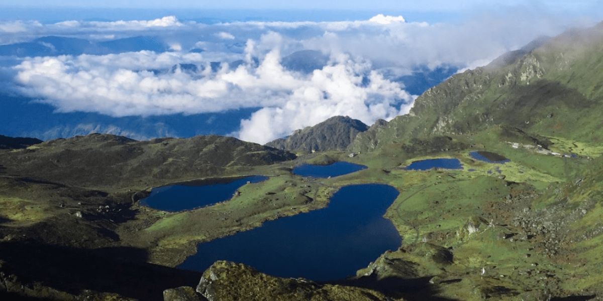
Panch Pokhari is one of the highest-altitude wetland clusters in the world and also a revered Hindu-Buddhist pilgrimage site associated with the Janai Purnima festival during the month of August.
Note that this high-pass trek is strenuous for absolute beginners and not recommended at all. On top of that, we’re promoting a reverse route here, which even adventure seekers may find difficult compared to the original route:
Deurali > Nosyampati > Panchpokhari > Tin Pokhari > High South Camp > Moraine Camp > Langshisa Kharka > Kyanjin Gompa > Lama Hotel > Sano Bharkhu.
Remember that reaching an altitude of 5,350 m above sea level without proper acclimatization can prove to be immensely difficult and risky in terms of altitude. So, only those who want the thrill of an adventure and want to feel their adrenaline pumping from their veins are suggested to opt for it!
Why Should You Still Consider the Langtang Valley Trek?
As we’ve mentioned earlier, the flood has not affected the entire Langtang region. The mountains still stand, the culture is still alive, and people there still wait for the visitors. So, your visit can become a small contribution to the region.
In fact, choosing Langtang for your trip is much more than beautiful mountain views, and here are a few top reasons why you should still consider the Langtang Valley Trek:
Teahouses and Local Businesses Are Waiting
Think of those small teahouses where you come and rest after hours of trekking!
The people cooking dal bhat and other meals for you, the shopkeepers who sell snacks along the trails, the porters who carry your bag, licensed guides who lead your trek, and even local farmers who supply food are all part of the tourism chain in this region.
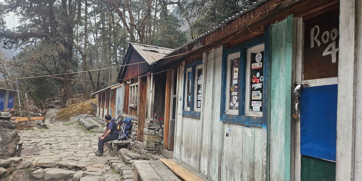
If there are no tourists, imagine what their lives would be like, particularly when they are eagerly waiting for the trekking season!
Tourism has become the backbone of the economy in Langtang, and after this destructive flood, these small businesses may lose their income overnight. So, your cup of tea, a night's stay, and a meal mean a lot to a local family in the region.
The Beauty of Langtang Remains the Same
Langtang Valley is a popular trek among both domestic and international trekkers.
Imagine waking up surrounded by the Himalayan peaks, walking through forests where rhododendrons bloom, passing through the traditional Tamang Villages, exploring glaciers (like Langtang Glacier, Lirung Glacier, Kimshung Glacier, etc.), and witnessing the Langtang and Jugal Humal Range (consisting of Langtang Lirung, Ghanja La Chuli, Ganchenpo, etc.)!
The spectacular view of these mountains truly makes Langtang special and is definitely one of the primary reasons many choose to visit here!
Langtang is Still Kathmandu’s Closest Himalayan Escape
Despite the devastating flash flood that shifted the trailhead, you can still complete the Langtang Trek in a shorter duration, as it remains relatively accessible from Kathmandu in comparison to other longer trekking destinations.
Starting from Dhunche, the trek will be approximately 90-100 km and can be completed in 7-8 days. Or even if you choose Sundarijal as the trailhead, the overall Langtang trek will be approximately 130 km and can be completed in about 10 days.
Langtang Region Route Status and Availability
The 2026 Rasuwa Bhotekoshi flood led to a temporary closure of treks starting from Syabrubesi and Dhunche. So, when will the trek be available? Well, it completely depends on which part of the region you want to explore:
- The famous Tamang Heritage Trail and Langtang Valley Trek from Syabrubesi might not be possible for quite some time.
- Since the Langtang Valley trekking trail climbs north-east from the Bhote Koshi River towards Kyanjin Gompa, the actual trail has not been damaged and is walkable, but it is just not accessible yet from Syabrubesi. However, using the alternative starting points, you can still do the Langtang Valley Trek in 2026/27.
- Since the flood has severely affected Timure and Rasuwagadhi, connecting to Kyirong in Tibet (which was the main gateway for Kailash Mansarovar pilgrims), this route has been completely closed off! So, if you were planning to visit Lake Mansarovar or do the Kailash Yatra, look for alternative routes (via Hilsa or directly from Lhasa).
- Moreover, the trade route with China via Rasuwagadhi is no longer operational, which has caused massive damage to the economy. The only functioning trade route is via the Korala border in Mustang. Even the Tatopani border in Sindhupalchowk remains closed due to landslide risks.
Note: It might take some time before the Pasang Lhamu Highway comes back to its full strength because the main priority now is to help the survivors and victims.
When Might the Trails Reopen?
Realistically speaking, restoring everything back to normal immediately is not quite possible. Last year’s flood damage had just been healed, and a much more terrifying disaster struck the region again.
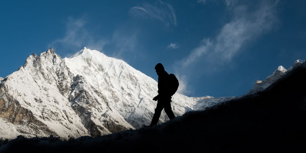
But the Nepalese people are known for standing proud and tall in front of any trouble. So, we’re hopeful that the road conditions shall improve and all trekking trails will get back to normal.
If the monsoon is kind this year (not causing extra damage through floods and landslides), then the roads could open sooner than expected. But looking at the situation, it’s likely that only the road up to Dhunche will open (either via the Betrawati road or continue with the alternative route we mentioned earlier).
Since the peak season for Langtang treks is October-November, it is possible tourists get to start the trek from Dhunche before the peak window arrives.
What is Unaffected in Nepal At Present?
Don’t be discouraged, trekkers. There are many more destinations that are safe for trekking!
If Langtang does not recover by the time you are here, consider these alternatives: Everest, Annapurna, Manaslu, Dolpo, or any other trekking regions in Nepal.
Efforts are underway, but considering the damage, you might have to be flexible for a certain time.
Possible Future Risks in Bhotekoshi-Trishuli Region
Climate change, landslides, and earthquakes have always threatened those living in the Bhotekoshi-Trishuli riverbanks. Because of this region’s geography, we cannot deny the possibility of other natural disasters in the future.
We cannot predict when another disaster will strike, but having knowledge of what we might have to face is better than knowing nothing!
The 2025 Rasuwa Flash Flood
The recent flooding is not the first calamity this region has seen. Within a year of being wrecked by a flood, a larger-scale disaster of the same kind hit it again!
On the 8th of July, 2025, there was a flash flood in the Lhende and Bhotekoshi rivers after water levels rose suddenly, causing massive destruction in Rasuwa district!
The event was triggered by a sudden supraglacial lake drain on the Purepu Glacier, which is roughly 36 km north of the Nepal-China border. The flash flood swept away the Miteri Friendship Bridge linking Nepal and China at the Rasuwagadhi border post, along with some hydropower projects and other structures.
Sadly, 9 lost their lives, 19 went missing in this mudslide, and 95% of the trade collapsed through Rasuwagadhi.
Without a doubt, the flash flood on 26th August, 2026, was the biggest ever seen in this region or perhaps the biggest in the country. And the risk continues!
Climate Change is Making These Events Frequent
Climate change is an ongoing process, and it has been accelerating since the early 20th century and most notably since the late 1970s. This has led high-altitude ice and glaciers to melt faster than at any point in recorded history.
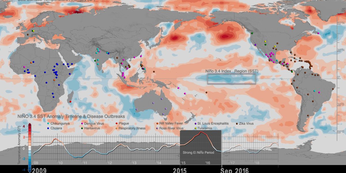
ICIMOD’s research on the Hindu Kush Himalaya clearly states that the frequency of GLOFs (Glacial Lake Outburst Floods) is expected to increase as the climate keeps warming up. With the accumulation of meltwater and the merging of two or more separate glacial lakes, serious concern is being raised!
In case you didn’t know: Hindu Kush Himalaya covers over 4.2 million square km and stretches 3,500 kilometers across eight countries: Afghanistan, Pakistan, India, China, Nepal, Bhutan, Bangladesh, and Myanmar.
In fact, a fivefold increase in GLOFs has been recorded since 1950; due to climate change and glacier ice loss, GLOFs across the Hindu Kush Himalayas have doubled since 2000!
Let’s now relate this to the recent Bhote Koshi flash flood. As we explained above, this incident was the work of a chain of events: a large glacial mass below the summit of the Langtang Lirung detached, triggering an ice-rock avalanche that blocked the flow of the Lhende River on the Nepal-China border.
So was this specific avalanche caused by climate change, or was it just an ice-rock avalanche that could have happened anyway? That's a fair question!
Geoscientists rarely say a single event was caused by climate change. What they can say is that warming makes this kind of avalanche far more likely, and here's why.
High up in the mountains, there is frozen ground that never used to melt (scientists call it permafrost). This frozen ground acts like glue, holding the rock together. But as temperatures rise, this glue is melting!
The water goes into the cracks in the rock, and when it freezes again, it pushes the crack open a little wider. When this happens again and again over years, the rock eventually becomes weak enough to break apart (geoscientists call this "preconditioning of a slope").
On top of that, glaciers used to sit against the mountain slopes like a support wall, holding them in place. As these glaciers melt and shrink, that support disappears. The slope is left weaker, and it can eventually collapse on its own, even without rain or an earthquake to trigger it (this is called glacial debuttressing).
This is exactly the kind of terrain the Langtang Lirung avalanche came down from: a slope likely weakened over years by both processes. So while no one can point to this one avalanche and say climate change did this alone, the slope being ready to fail in the first place is very much a climate change story!
The Himalayas in Nepal, India, China, Bhutan, and Pakistan are warming twice as fast as the rest of the world. In fact, the UN even reported that Nepal's mountains have lost almost one-third of their ice in the last three decades.
So when some people say climate change cannot be blamed for this event, the honest answer is this: it may not be the single cause, but it is very likely one of the reasons the slope gave way when it did.
The recent event is a clear warning of similar-level GLOFs in the future, and not just for Nepal but worldwide!
Risk of Landslides and Earthquakes
This region has always been susceptible and vulnerable to earthquakes and landslides. In fact, every monsoon we hear about landslides claiming lives and destroying villages.
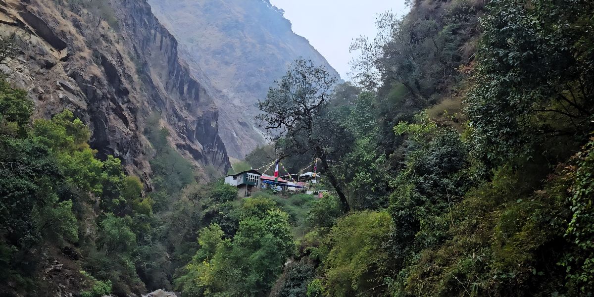
With climate change, heavy monsoons, and frequent earthquakes, the danger of landslides never stops. You might not know, but Nepal, a country with 68% hills and 15% mountains, ranks 16th in terms of disaster risks like floods and landslides, as per the Global Report on Disaster Risk.
According to the same report, Nepal ranks 11th in terms of seismic risk (earthquakes). In fact, this Himalayan country has been shaken by multiple earthquakes throughout its history, including the infamous one in 2015, more than a decade ago.
The same earthquake triggered a massive rock-and-ice avalanche of 2015 in Langtang Village. The heartbreaking and devastating catastrophic debris movement buried the entire village, with more than 300 people reported killed or left missing!
And guess what? A study even considers Rasuwa, Nuwakot, Dhading, Gorkha, Dolakha, and Sindhupalchowk among the highly susceptible districts to earthquake-induced landslides.
It’s sad, but we cannot disregard the fact that a devastating earthquake might hit these regions at some point in the future!
What Trekkers Need to Keep in Mind Before Travelling
The most devastating things can happen at the most unexpected time. Stopping calamities is not possible, but that does not mean we have to stop living and travelling.
Yes, the initial path leading to Langtang Valley suffered heavy damage, but the forests, mountains, lakes, and landscapes are still there, welcoming travellers like you!
Now, here are a couple of tips to help you visit these beauties responsibly while the road section continues to recover:
- A solo trek is the riskiest thing to do at present. Since conditions in Nuwakot and Rasuwa are still not better, you might have trouble rerouting. So, take a government-licensed guide who brings experienced knowledge, local contacts, and access to immediate information.
- Hire locals for portering and try to accommodate yourself in local establishments. Tourist-based economies here have taken a direct hit; now it’s our responsibility to help them recover. By doing this, you will be contributing to the recovery of these areas while still getting what you want.
- If you see any opportunity to support the victims here, do not hesitate. You can buy supplies here rather than bringing them from Kathmandu or contribute to relief efforts through genuine organizations to support the families.
- Road closures and restrictions are possible on damaged highway sections, and you might have to extend a day or two for your trek. Rerouting around landslides and broken bridges are also possibilities, so build buffer days into your itinerary.
- Make sure you are confirming the recent conditions close to your departure. Everything was perfect a month ago, but that is not the case anymore. Stay in touch with trustworthy operators like Altitude Himalaya to get the live status of the highways and the trails.
- Hazards like glacier collapse, landslides, earthquakes, etc. are active in this region, but that does not mean you have to avoid the trek. You just have to be careful of the geological scenario and seek help from an experienced guide who’s always on high alert.
- Do not involve yourself in camping or going near water bodies without your guide.
- Be sure to pack every essential before you head to the trailhead. Check our detailed packing list guide to learn more.
- Efforts are ongoing, but what if Langtang is not ready for your date? As a trekker, you have to be flexible and maybe endeavor to explore other excellent options.
- Information from just a couple of days ago can get outdated when disasters like this strike, so it's better to follow official sources and trusted organizations. Nepal’s Department of Hydrology and Meteorology, the National Disaster Risk Reduction and Management Authority, the Nepal Tourism Board, and agencies with reliable websites like ours have the information you need. You can even keep our “Blog” page bookmarked to come back and see if we have anything new to share.
- Research well and gain accurate knowledge rather than listening to and spreading rumors!
The affected regions want you to visit them more at times like this, because every little help, be it directly or indirectly, contributes to restoring the glory!
How Are We Handling Langtang Treks?
It’s completely natural that travellers who were planning to experience the main attractions of Langtang or had upcoming bookings have a lot of questions regarding the situation.
So, to clear all your queries and doubts, let us tell you how we, at langtangvalley.com, operated by Altitude Himalaya Pvt. Ltd. (along with most other reliable trekking agencies), are managing the different routes in Langtang:
- First things first, bookings have not been paused or cancelled. As the flood had damaged the access road around Syabrubesi, we are now choosing alternative trails to reach the new starting point, Dhunche.
- We are closely monitoring the situation and checking updates daily from our ground team rather than promoting the same old information.
- The clearance and rebuilding work is continuing as we write this article, and the road conditions are expected to improve week after week. What this means is we could connect to Dhunche via the same old road soon, and even our old itineraries might revive.
- Our itineraries that will probably be affected are the ones that are fixed and short, one of which is our Short 5-day Langtang Valley Trek with no rest day. Likewise, every other trek starting from Syabrubesi is kept on hold. Instead, we focus on these three packages right now:
- Depending on the situation, we might rework the itineraries again by extending them by a few days to tackle the access delays and still be able to complete the trek. So, be sure to cooperate with our tour operator and assigned guide.
- And in case the situation doesn’t improve, don’t worry! We shall provide you with alternative trekking options in a different, unaffected region that offers equally spectacular views, terrain, scenery, and culture.
Alternative Treks to Langtang Region
If you’re sceptical about the treks in Langtang National Park after the flash flood and are looking for alternative, smoother options, then we have prepared a list of treks that you might want to check out:
Annapurna Base Camp Trek
From our point of view, the best alternative to Langtang Valley Trek would be the Annapurna Base Camp Trek. It is similar in terms of difficulty and scenic diversity.
Moreover, this trek is easy and less demanding, just like the Langtang Valley Trek. The highest point is the base camp itself, sitting at an altitude of 4,130 m (which is also best for beginners).
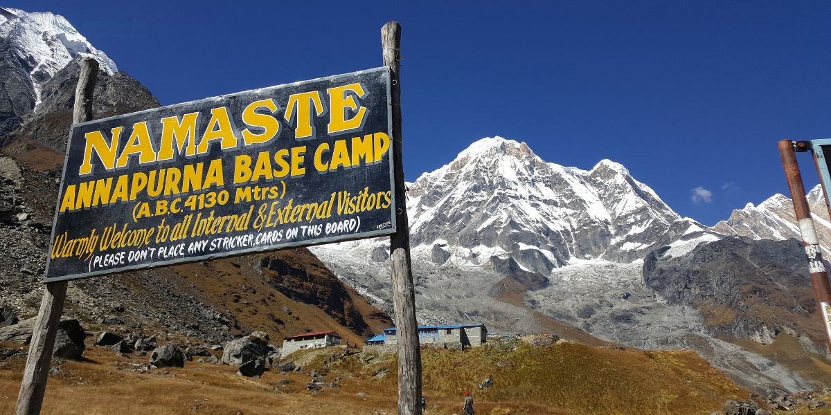
Furthermore, the Annapurna Base Camp Trek comes with lots of adventures to uncover and beautiful landscapes to capture. You get tantalizing mountain views of Machhapuchhere (Fishtail), Annapurna South, Annapurna I, Hiunchuli, Gangapurna, Annapurna III, Annapurna Fang, and many more!
Here are the main highlights of this trek that are similar to treks in the Langtang region:
- Gurung and Magar ethnic cultures and traditions (a little different from the Tamang and Hyolmo communities), but the gist is that you won’t be missing out on any kind of cultural indulgences here.
- Popular among both local and international trekkers, so accommodations are available throughout the trek, so it won’t be a problem.
- Connects to many other treks, as the Annapurna Region features tons of beautiful destinations, like Ghorepani - Poon Hill, North ABC, Mardi Himal, etc.
- A magnificent 360° view of the Annapurna range with a spectacular sunset and sunrise experience, very similar to Kyanjin Gompa, flanked by the Langtang and Jugal Himal ranges.
Mardi Himal Trek
This is another amazing trek within the Annapurna region that you won’t be able to get enough of and can be completed in a shorter time than most Langtang treks.
Mardi Himal lies in the Gandaki Province, and the trekking trail lies in the shadow of Mt. Machhapuchhre. The trek can be completed in just 5-7 days, which can easily fit those who are looking for a short trek.
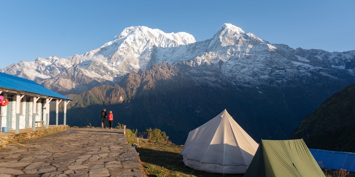
Also, the highest point of the trek, Mardi Himal High Camp, is at a friendly altitude of 3,553 m, comparatively lower than those of the Langtang region.
Now, let’s look at some of the defining parts of the Mardi Himal Trek:
- The main highlights are the ridge walk, forested trails, and uninterrupted views of the Annapurna range.
- Takes you very close to Mt. Machhapuchhre, a holy mountain that the government of Nepal has banned mountaineers from climbing because of its religious roots.
- A perfect trek if you’re a beginner, as this trek sits in the “Moderate” category, similar to Langtang Valley, Panch Pokhari, and Gosaikunda treks.
Manaslu Circuit Trek
Another on the list we have is the Manaslu Circuit Trek, which is, however, much tougher than most Langtang treks. Yet, it’s comparatively richer in terms of cultural and natural beauty.
This trek might take longer than your average Langtang trek, usually about 12-15 days. It might seem like quite a lot, but if you’re thinking of doing the Langtang Extended Trek, then it’s the best alternative to it considering the current scenario.
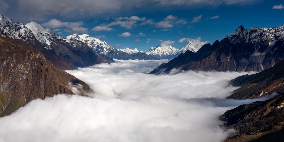
The main highlights of the Manaslu Circuit Trek are:
- The never-ending sights of waterfalls flowing down from the massive hillsides along the trails are the major attractions here.
- This is best for trekkers who love to take on challenges, as it surely tests you with altitude gains, with the highest point of the trek being Larkya La (or Larke Pass) at 5,106 m. However, this pass is comparatively easier to cross compared to both Tilman and Ganja La.
- A wide variety of ecological zones can be found within the Manaslu Conservation Area, as the route diverges from the subtropical Budhi Gandaki River up through rhododendron forest and then into high-altitude Tibetan-plateau-like landscapes near Samagaun/Samdo before the pass.
- The local community of this region is mostly inhabited by Nubripa people and active Buddhist gompas.
- A trek filled with natural diversity of flora and fauna, like magnolia, rhododendron, primroses, maple, etc and wild animals such as Himalayan black bears, langur monkeys, musk deer, etc.
Treks in Other Regions
Beyond the aforementioned alternatives, you could very well plan a trek to other trekking regions of Nepal, as they remain unaffected:
- Everest/Khumbu region: Popular options include the Everest Base Camp Trek and Everest Three Passes Trek.
- Annapurna region: Beyond Annapurna Base Camp, Annapurna Circuit is the best option, but you need at least 14-15 days.
- Manaslu region: Beyond the Manaslu Circuit we mentioned earlier, Tsum Valley could be a great option too.
- Dolpo (Lower/Upper): This one is a more remote region (and much farther from the capital, Kathmandu), with major highlights featuring Phoksundo Lake, ancient Bon monasteries, and chances to spot snow leopards.
- Eastern Nepal: Kanchenjunga Circuit or Makalu Base Camp are the best options if you want a quiet trek filled with adventure.
- Western Nepal: Remote treks like Badhimalika, Rara Lake, Api Himal Base Camp, and Humla-Limi Valley.
Final Thoughts
Well, the Langtang region is not completely affected, and it continues to welcome visitors. You can visit Langtang via different routes and enjoy the mountain landscapes, the villages, the culture, and the hospitality that make this region what it is.
The road to Syabrubesi will take time, but the trails from Dhunche, Dupcheshwor, and Sundarijal are slowly opening, and they lead you to the same Kyanjin Gompa views trekkers have always come here for!
Still, we ask you to plan this one a bit more carefully than usual. Stay in touch with your operator, build a couple of buffer days into your itinerary, and go in with a licensed guide rather than solo.
If you keep yourself informed and follow the guidance of local authorities, there is no real reason to take Langtang off your list this year. In fact, even we are ready to serve you and are just one phone call or text away!


 Bhishu Acharya